
Shifting Focus from Winter Caves to Summer Streams
A hibernaculum gate protects a highly specific, concentrated area of a few square meters at a cave entrance. For roughly two decades after the species' 1967 federal endangered listing, site-security work at these winter roosts carried the recovery effort as its primary tool. Fencing, seasonal entry closures, and microclimate management at winter roosts dominated conservation planning from the mid-1970s through the early 1990s. Winter remains the only season when this species can be counted at scale. Hibernating clusters are surveyed during deep torpor in January and February, operating on a biennial cycle in odd-numbered years across roughly 2011 through 2023.
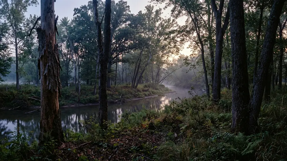
Protecting a winter site eventually forces a broader landscape question. The bats emerge from these secured caves in the spring to navigate a fragmented summer landscape characterized by broken travel routes and isolated patches of woods. Conservation planning had to expand beyond the cave entrance. The focus moved toward safeguarding connected waterways and adjacent forests across multiple states, recognizing that summer-range work needed to move to the center of planning.
The Seasonal Demands of Maternity Colonies
The annual cycle the corridor has to serve runs continuously, demanding different resources at every stage. Hibernation stretches from roughly late October into early April. Spring dispersal to the summer range occupies April and May. Pups are born in the second half of June and reach volancy by mid-to-late July. Fall swarming at hibernacula then extends from August into October. A single protected location cannot support this sequence.
Maternity colonies distribute themselves across multiple trees rather than settling on a single roost. Females select a primary roost and several alternates, commonly relocating every few days across the season. Joint work dating to the initiative's early years with the Organization for Bat Conservation (OBC) established that a functional summer patch requires a continuous supply of suitable snags and bark-shedding live trees. Waterways and their wooded margins combine tree cover, feeding habitat, and connected movement routes into a cohesive unit. Forest clearing, development, roads, and other breaks in corridor continuity create intense decision pressure, forcing land managers to evaluate how each missing link impacts the broader network.
Stacking Foraging Airspace and Roost Structure
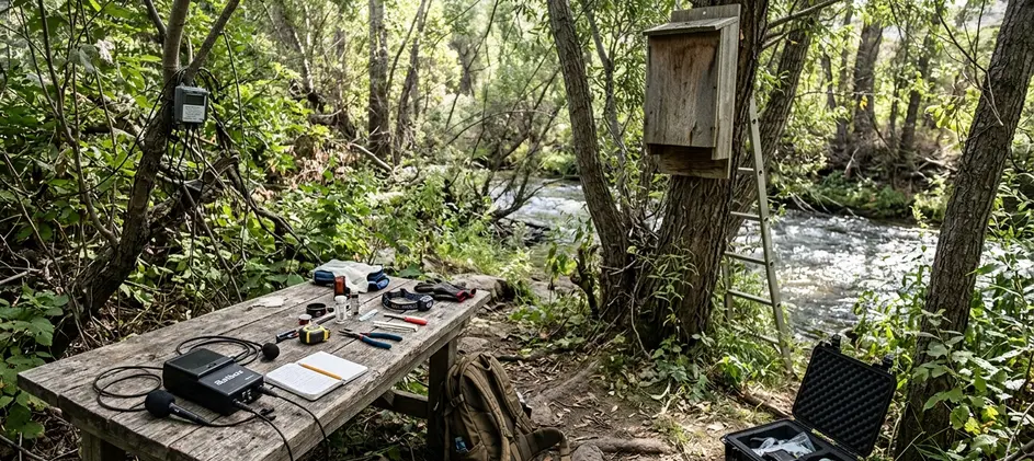
A common approach to protecting a corridor follows a specific decision chain. Teams identify candidate waterways inside known or reasonably inferred summer habitat. They examine adjacent forest continuity, find gaps or pinch points, prioritize protection, and plan monitoring. Adjacent forest is treated as one unit with the channel because the two functions are physically stacked. The channel and its opening supply the foraging airspace and the drinking surface. The bank forest supplies roost structure and the dark flight line. Protect one without the other, and the reach loses a critical habitat function.
Streamside buffer retention is generally specified as a band measured from the ordinary high-water mark on each bank. Widths fall in the range of roughly 50 to 300 feet per bank in forestry and development buffer frameworks. Restoring missing links requires a long-term perspective. Replanted gaps need on the order of 30 to 60 years before planted stems begin producing the loose-bark and snag structure roosting requires.
Evaluating these corridors reveals distinct failure cases. In one instance, a conservation easement retained a narrow band of young, even-aged planted stems along both banks. Aerial imagery scored the reach as continuous canopy, closing the connectivity gap on the map. The band contained no snags and no bark-shedding declining trees. Travel and foraging function returned, while maternity roost function did not. Corridor continuity was restored decades before roost availability could be. Similarly, a bridge or culvert replacement inside an otherwise intact protected reach that adds high-output roadway lighting over the channel creates a severe disruption. Nothing was cleared and no acreage was lost, registering as no habitat impact in an output ledger. The lit span functions as a break in the dark flight line the corridor exists to provide.
Aligning Acoustic Protocols Across Jurisdictions
Waterways, forest systems, and bat habitat do not end at administrative boundaries. A stream reach that crosses a state line acquires two review processes and two survey traditions. Shared habitat priorities help separate jurisdictions evaluate connected reaches instead of treating each project area as an isolated site. Pooling summer survey results across jurisdictions requires alignment on effort, not just method.
Published range-wide summer survey guidance for this species specifies mist-net effort beginning about 30 minutes after sunset and continuing roughly 5 hours, with multiple net nights per survey area. Optimal acoustic effort is concentrated inside the maternity window of about May 15 to August 15. Certified acoustic pooling requires agreement on the analysis stack. Teams must align the detector model and microphone orientation, recording season, and the classifier plus filter settings used. Two states running different software versions on the same recordings can return different species calls from identical files.
Evaluating the Acoustic Evidence
Species-level confidence in acoustic monitoring differs by region. Where echolocation calls of this species overlap closely with other Myotis in the local assemblage, one state's records may read 'Myotis species present' while a neighboring state's classifier and review protocol yield a species-level call on comparable recordings. A 'confirmed occupied reach' is not a uniform standard across a multi-state corridor. Acoustic monitoring gives reliable presence data, but species-level identification stays constrained by regional call overlap.
Tracking Occupancy Through Disease and Method Drift
Targeted protection of waterways and adjacent forests aided the endangered Indiana bat while advancing connected-habitat conservation across multiple states. Evaluating this success requires navigating complex data sets and acknowledging significant historical shifts in monitoring practices.
The largest confounder is dated and unavoidable. White-nose syndrome was first documented in the winter of 2006–2007 in the northeastern United States. The disease reached hibernacula in the species' core range within roughly the following four to five years. Any summer occupancy or count series spanning that period reflects disease dynamics alongside habitat condition. Method drift breaks series in a specific way here. Sites monitored by mist-netting before roughly 2010 and by acoustic detectors afterward are not comparable without a documented calibration. Detection probability, species-identification confidence, and per-night effort all change. A rise in 'detections' can simply be a rise in detector nights.
| Reporting Period | Location | Action | Protected Acreage or Stream Miles | Monitoring Indicator | Source |
|---|---|---|---|---|---|
| 2011–2023 (odd years) | Hibernacula | Winter counts during deep torpor | Hibernating clusters | Biennial survey cycle | |
| Pre-2010 | Summer range | Mist-netting | Captures | Range-wide summer survey guidance | |
| Post-2010 | Summer range | Acoustic monitoring | Detections | Range-wide summer survey guidance | |
| 2006–2011 | Northeastern US to Core Range | Disease tracking | Hibernacula counts | White-nose syndrome documentation |
Assessing Riparian Continuity on Private Land
Landowners and habitat stewards can apply these lessons directly to local waterways. Assess connectivity by walking or mapping upstream and downstream. Retain established streamside trees where safe, identify bare gaps, reduce avoidable disturbance, and coordinate with neighboring properties. Evaluate the larger habitat network before installing a bat house. Artificial roosts cannot replace mature riparian forest or reconnect a fragmented corridor.
Tree removal timing is the single most consequential decision a streamside landowner controls. Work scheduled outside the maternity and swarming windows avoids the period when roosts may hold flightless pups. This safe window runs roughly from mid-October through the end of March in much of the species' range. A declining tree with loose plating bark and solar exposure is worth more standing than removed. Researchers affiliated with the Cranbrook Institute of Science note that preserving these specific structural elements provides immediate value to local populations.
Riparian Corridor Field Check
Do this twice on the same reach: once leaf-off in late winter, once leaf-on between June and August. Record findings per reach, not per property.
- Late Winter (Leaf-off): Read stem structure, bark condition, snags, and gap geometry.
- Summer (Leaf-on): Judge canopy continuity and actual dark flight space after full darkness.
- Key Indicators: Look for continuous canopy, potential roost trees, dark travel space, water quality concerns, road crossings, lighting, and nearby development pressure.
This sequence presumes the reach still has a mature or maturing riparian overstory to build around. On a stream whose banks were cleared decades ago and are now in turf, row crop, or dense invasive shrub, the honest first project is multi-decade reforestation with a monitoring plan, not connectivity assessment. No combination of steps here will make that reach function as Indiana bat summer habitat within a single stewardship cycle.
Measuring Habitat by the Stream Mile
Protecting habitat connections changed the scale at which Indiana bat recovery could be planned. The scale change is measurable in planning terms. A hibernaculum gate protects an area of a few square meters at an entrance. A corridor decision governs continuous linear habitat measured in stream miles across ownerships. The same species requires two planning units differing by orders of magnitude.
This case offers a repeatable way to think about landscape-level conservation. Follow ecological connections, protect continuity, coordinate across boundaries, and measure outcomes honestly. Corridor work operates on a slower ledger than site security. Gate installation is a single construction season. Replanted riparian gaps need on the order of three to six decades before they produce the snags and exfoliating bark that make a reach usable for maternity roosting.





Join the Conversation
No comments yet.
Join the Discussion